
The underground fires exposing a climate monitoring blind spot
Global datasets may be underestimating the amount of carbon released from peat fires, according to a new study based in Siberia. Scientists claim that the carbon emissions from these fires, which can burn belowground, are among the hardest to measure.
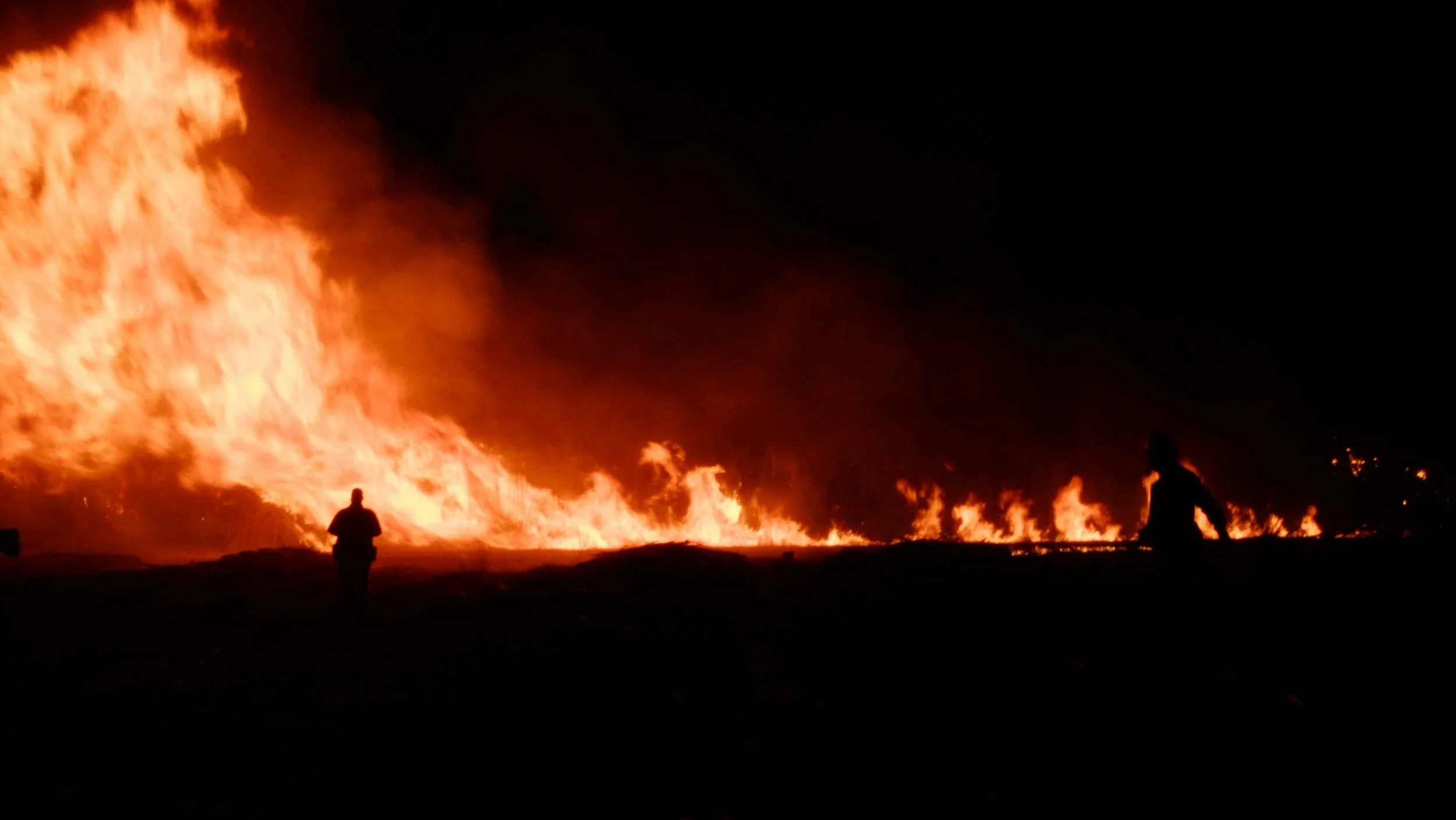
Peatland fires can occur above and below ground.
In Siberia, fire can behave far more strangely than the classic wildfires we have all become familiar with thanks to a combination of mobile phones, social media, and climate change. Instead of scorched trees, fleeing wildlife, and plumes of smoke, some fires wreak their havoc deep within the carbon-rich soils of arctic peatlands.
These underground fires may begin at the surface, but after travelling into the soil they continue to smoulder long after the visible flames on the ground have burnt out. Scientists believe these fires essentially ‘hibernate’ during the cold season, emerging from the peat once more when the land is drier. Researchers are rushing to identify how much previously locked-in carbon these ‘zombie fires’ are emitting into the atmosphere.
The findings of a recent study published in Science Advances suggest that global fire datasets may be underestimating carbon emissions due to how difficult it is to take these measurements. The study’s authors estimated that between 2001 and 2023, 1.24 petagrams of carbon were released from peatland fires. Speaking very roughly, that is about the equivalent of 5 years worth of global flight emissions.
Underground fires
Peat forms when plant material is only partially decayed. In wet environments, plant material can’t break down as thoroughly as it does in drier conditions with more oxygen-rich soils. Instead, the decaying remnants of grasses, mosses, and other vegetation accumulate in layers, forming the dense soil known as peat.
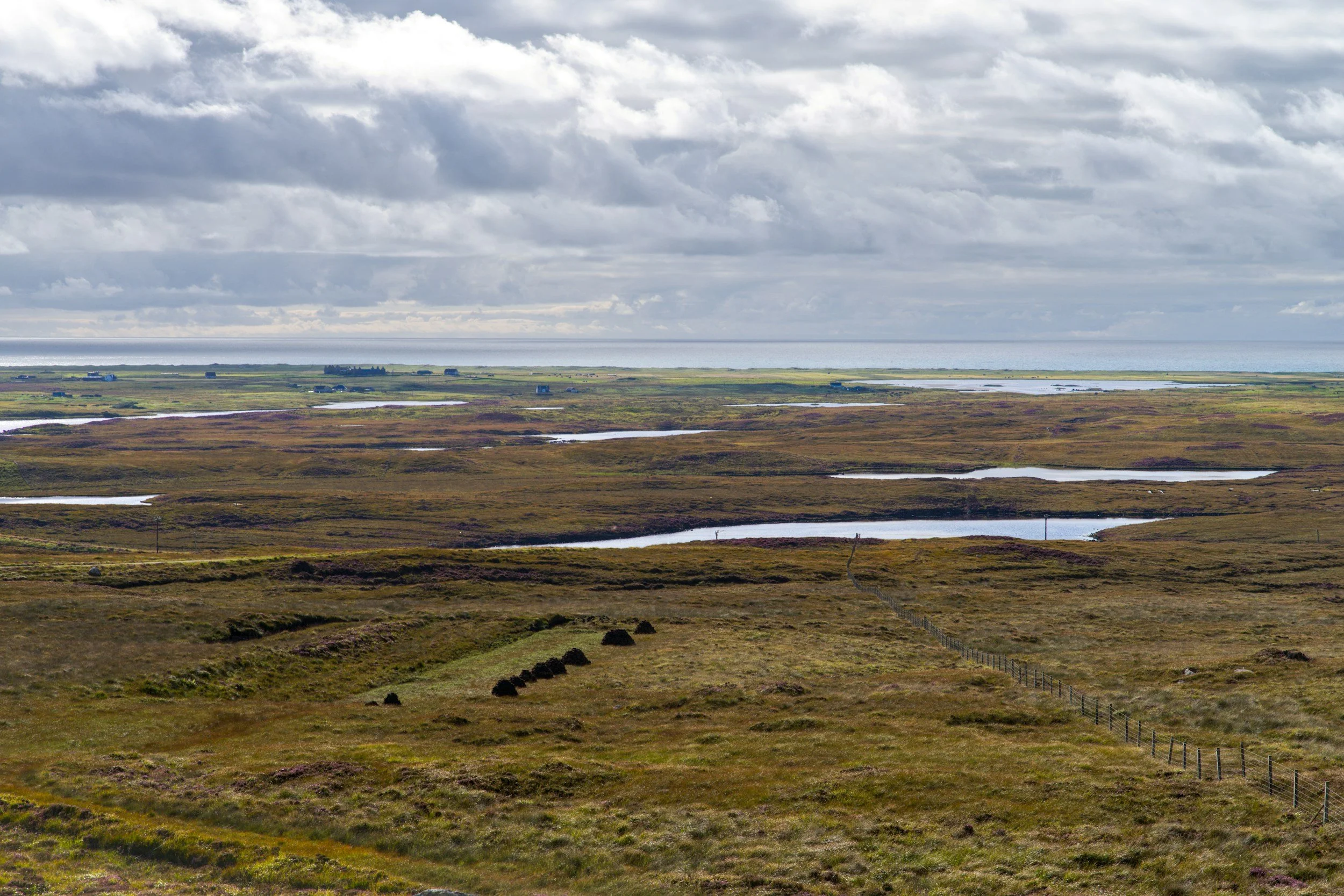
Peatland ecosystems build up decades, centuries, and longer.
This manner of building up slowly is what makes peatlands an important part of the climate system despite only covering 3% of the Earth’s surface, as peat stores disproportionately large amounts of carbon. Typically, the wetter and colder a peatland environment, the slower the decomposition of vegetation, meaning that Arctic peatlands are particularly effective at locking up carbon.
When wildfires occur in any landscape, it is important to know where carbon has been released from, for example, a typical surface wildfire may burn trees, grasses, and other new plant growth as well as woody material. However, if a fire occurs in peatland, it can burn down into the peat itself, releasing carbon that has been stored for hundreds, if not thousands, of years.
Whereas carbon released from trees, shrubs, and similar material may be at least partially balanced by plant regrowth after a fire, peat takes a lot longer to form and is unlikely to facilitate that same balancing effect within any meaningful replenishment timeframe.
In the Siberian arctic, wetlands, lakes, and boreal forests sit alongside one another. Wildfires in this region inevitably affect these ecosystems differently, with varied amounts of carbon released depending on the source that is burning. This makes understanding how diverse components of these environments store and release carbon, as well as the amounts that are released, vital for predicting, and potentially mitigating, the impacts of climate change.
The problem with counting carbon
Wildfires are primarily monitored using satellites. There are systems that detect fires in real time by measuring heat, and those that map the scarred earth left behind once a fire has burnt out. The carbon emissions can then be calculated by combining the findings from these satellites with the vegetation type, fuel source, and combustion.
As peatlands lack the tightly packed vegetation of other natural areas, such as forests, the fires don’t tend to move in a single hot fast-moving front. This means that even fires on the surface of peatlands can be difficult to detect.
Dr Amin Khairoun, the lead author of the recent study, described peat fires as producing “a very small signal” for the monitoring satellites, but one that can persist over time. This is because peatlands lack the tightly packed vegetation of other natural areas, such as forests, so the fires don’t tend to move in a large, very hot, or fast-moving front.
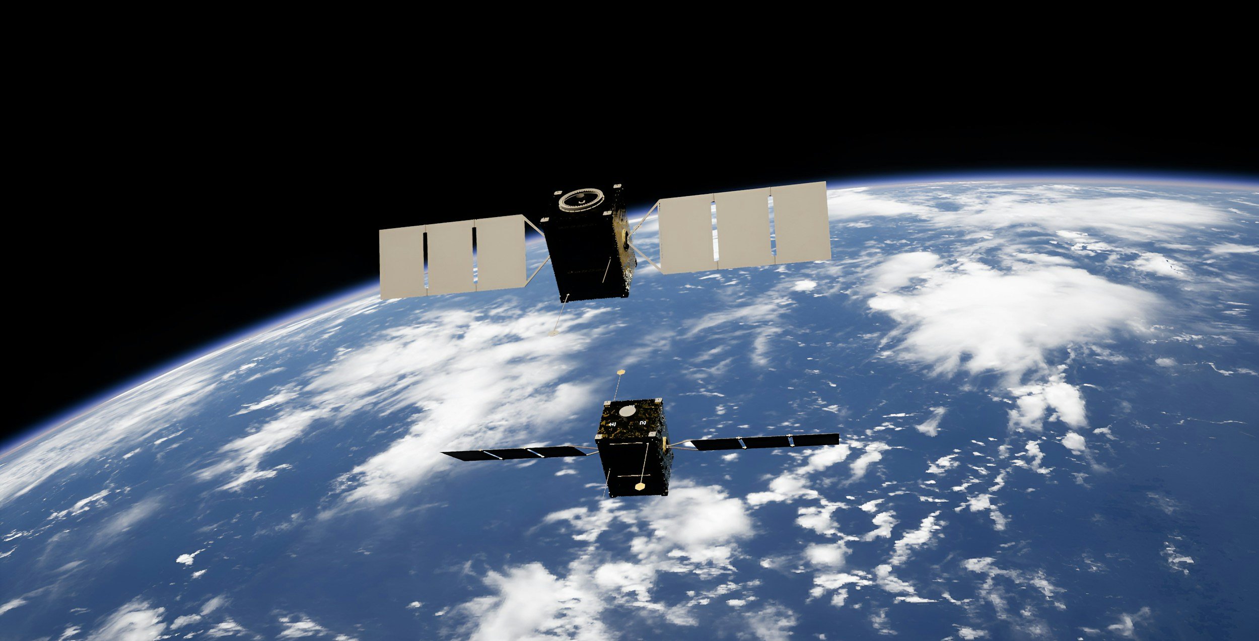
Satellites are used to monitor wildfires.
Peatland fires that have travelled beneath the surface are even harder to identify. Khairoun explained that even for scientists on the ground, these fires can be hard to detect unless there is a visible surface fire nearby or other clear evidence of where the burning has moved.
The presence of snow adds yet another layer of difficulty to the detection process. It is not currently possible for researchers to detect underground overwintering fires directly. Instead they attempt to identify them through observing how late in a fire season a surface fire burns out, and whether a fire occurs nearby early in the following fire season. Khairoun called this “an inference, not an actual detection”. The ability of these fires to lay low during colder, wetter months and reappear when conditions are more favourable is just one example of how the amount of carbon released during wildfires can be very difficult to estimate accurately. It also illustrates the specific challenges of estimating carbon emissions for peatland fires in a way that reflects reality.
Dr Mark Parrington, a senior scientist at the European Centre for Medium-Range Weather Forecasts who works on the Copernicus Atmosphere Monitoring Service, explained that these challenges are partly down to the observational limitations of the satellites. Fire emission detection systems make estimations based on what the associated instruments are able to measure, and how accurate current models are. Under certain circumstances, a fire’s signal can be significantly reduced or lost altogether. “If the fire isn’t burning when the satellite is passing overhead, then it won’t see it,” Parrington said. The fire also won’t be picked up if there are visual blockages, such as cloud cover, tree canopies, or a fire burning underground.
These factors collectively result in complex issues when it comes to taking accurate and reliable measurements. For each parameter that is assessed, such as the exact location of a fire, how much carbon was stored there, and how much of this was combusted, more uncertainty is introduced.
Resolving these uncertainties for the analysis of carbon emissions caused by wildfires in Siberia is a struggle, because relatively few measurements have been taken at this location. This means scientists are relying on inferences based on data collected in other countries and despite wildfires being a highly local process unique to the landscape in which they occur.
In this way, the impact of peatland wildfires on climate change can become a blind spot. Even when the fires are visible aboveground, they remain difficult to detect and measure.
When the numbers don’t match
Different datasets are created with different goals in mind. This is true for all areas of research including climate science. For example, some datasets provide records of air quality measurements with short time intervals to help scientists and policymakers monitor pollution levels caused by wildfires. Longer term research may investigate impacts on carbon cycles and require slower, manual data collection in the field. The specific goals influence other factors, such as model assumptions, methods used, and satellite observations referred to.
Some measurement systems assess burned area by combining information about vegetation, fuel, and combustion with an estimate of the amount of land that has burned. Other systems assess fire radiative power, which looks at the heat of an active fire to estimate the biomass being consumed. Both approaches have their place in assessing wildfires, but both also have limits to what they can achieve.
These systems are improving when it comes to establishing useful global datasets. Guido van der Werf, professor of landscape fires and the carbon cycle at Wageningen University and Research, said that higher resolution satellite data is becoming available to help collect the level of detail for wildfires that regional studies are already able to capture.
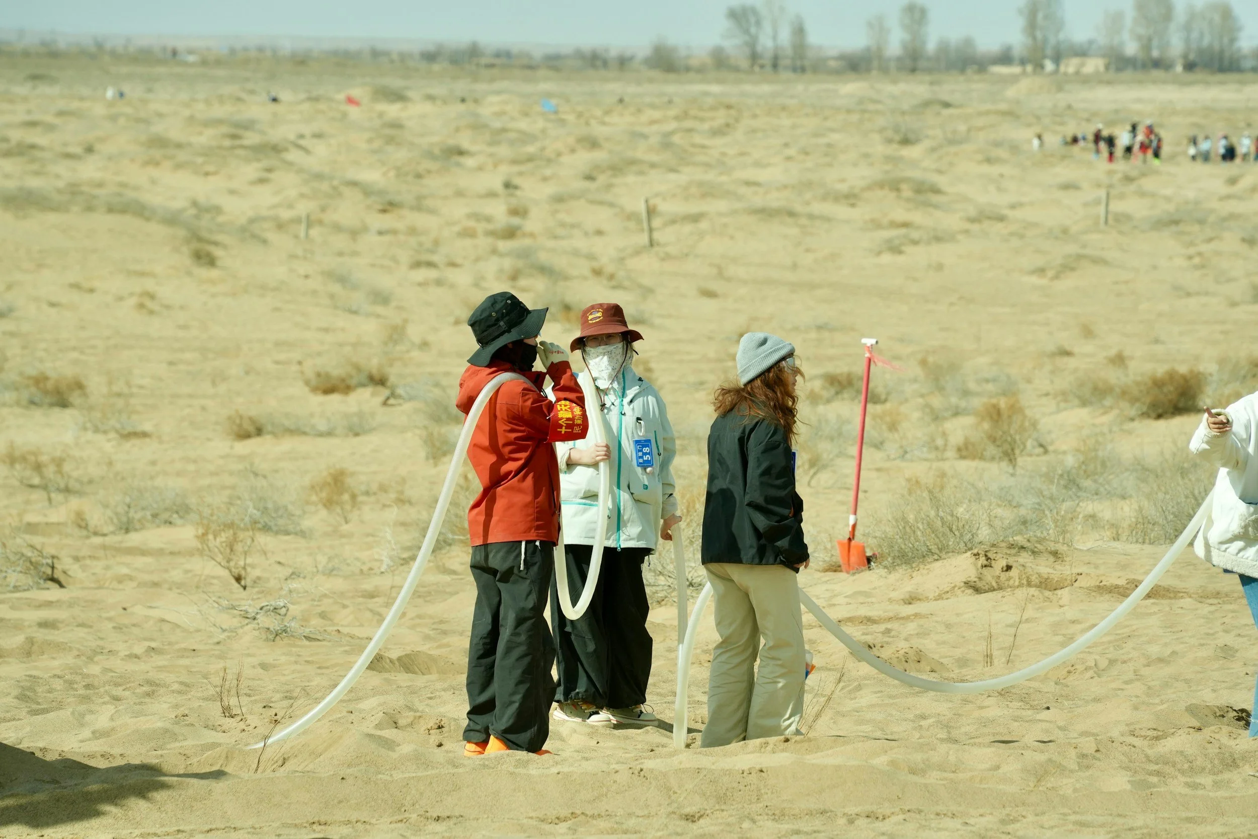
On-the-ground regional measurements can give a more accurate dataset than global datasets that primarily rely on satellite monitoring.
Van der Werf also explained that there are many different factors causing disparities between datasets, not just spatial resolution. Such factors include assumptions about the types of fuel, the land cover map relied upon, and whether different ecosystem types are considered separately from one another.
He specifically identified fuel-related factors as being key reasons for differences between datasets, particularly when it comes to identifying the amount of organic matter present versus how much of it actually burns.
Even how different researchers may be classifying areas can cause differences between datasets. “When do you start to call something a peatland?” van der Werf said. He explained that there is no standard peat soil depth that researchers unanimously agree clearly categorises an area as peatland.
The new study argues that these discrepancies can result in the total carbon emissions for an area being underestimated, despite being able to identify broad fire season patterns. Khairoun explained that if an area of land is not specifically identified as being peatland, for example in Siberia where burnt area may be gathered into boreal forest categories, then the emissions caused by the burning of the peat itself are missed. Khairoun and his team found that the contribution of peat to carbon emissions was much larger than previously established datasets have identified.
Global datasets cover many different ecosystems, including tropical forests, croplands, and savannas. “It’s a global approach,” van der Werf said, “so we can never get the regional details some more focused studies can do.” Regional studies can look more closely at one landscape in detail and train their models to the landscape. Global products may smooth over details that the finer-resolution mapping of regional studies can capture.
Understanding the differences between datasets allows scientists to identify where exactly fire carbon emissions are originating, what landscapes are most vulnerable to climate change-driven wildfires, and how monitoring systems can be improved.
Putting the carbon figure in context
Khairoun and his team estimated that 1.24 billion tonnes of carbon were released from peat fires in Siberia between 2001 and 2023. Although this number sounds enormous, Dr Pep Canadell, executive director of the Global Carbon Project, wrote that it should not be considered on par with the greatest contributor to human-driven climate change: the burning of fossil fuels. According to Canadell, the figure estimated for peat fire carbon emissions would only constitute “about 0.5% of the emissions directly attributed to human activities” for the 2001 to 2023 time period, as those from forest fires and fossil fuel burning would far surpass this value.
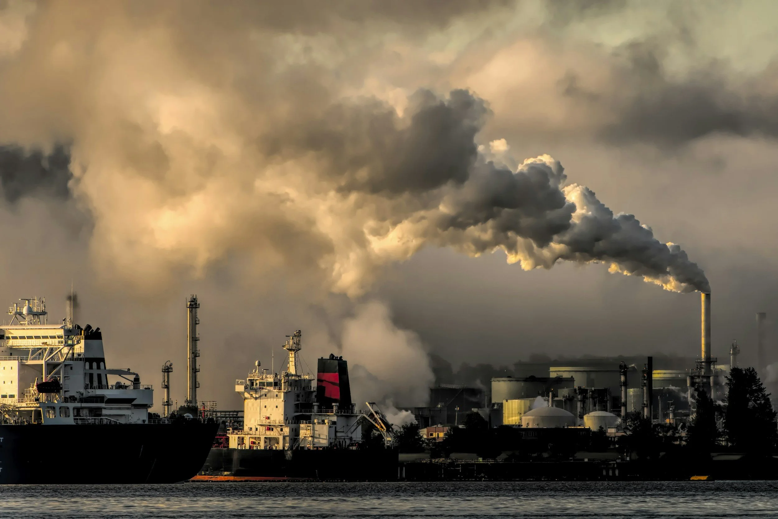
Burning fossil fuels is still the main cause of human-driven climate change.
Therefore, the main concern here is not that peat fire emissions are contributing to climate change at the same level as other concerning factors, but that they may be a type of feedback from a warming world. Canadell said “the last thing we need is carbon-climate feedbacks to make that peaking and rapid declining [of human-caused emissions] harder”.
As the Arctic warms, we must consider not only how much carbon has already been lost from these landscapes, but how much more we are currently on track to lose.
As Parrington pointed out, other emissions caused by fires at high latitudes can have a more immediate impact on environmental health than carbon dioxide. The smoke from fires impacts local air quality, as do pollutants released such as PM2.5 and black carbon.
What scientists still cannot see
Khairoun is under no illusions that his team’s study is the final word on the impact of Siberia’s peat fires, but instead views their findings as a step towards understanding their effects more clearly.
He identified uncertainty over what happens below the surface of peatlands when a fire is present as a major factor hindering our understanding of the amount of carbon dioxide being released into the atmosphere. How deeply a peat fire burns, how much carbon is locked up in the peat, and how much of it is actually released are all tricky questions to answer from space.
As van der Werf explains, “you know whether they are burning or not, but you don’t know whether they burn like five centimetres of organic soil or half a metre.”
Part of the problem is a lack of field data. Khairoun explained that available data on peatland fires from Siberia is limited, so researchers often have to rely on data collected from other northern regions of the world, such as North America. The data allow researchers to train and test models, but the outcomes may not be an accurate reflection of the area of the world being studied. Although these models certainly have a place in fire emissions research by improving estimates, they cannot replace regional field measurements.
For Siberia, this lack of reliable data for modelling is disappointing to van der Werf, who described it as “a very large and important region.”
Better peat maps and more data collection in the field on factors like burn depth, fuel source, and soil moisture would help improve our understanding of the contribution of the fires that take place in this vast, remote landscape to climate change.
The fires hidden below the Arctic’s surface serve as a warning that some climate change-contributing processes taking place globally may be happening faster than we can measure and mitigate them.